


Key Takeaways
- Homes within 1,000 feet of tidal water in Anne Arundel County fall under Critical Area rules. Homes inside Annapolis city limits are reviewed by the City, and everything else goes through the county.
- The 100-foot buffer is the hardest limit on what you can build. New additions, garages, pools, and patios in the buffer generally aren't allowed, and steep slopes, wetlands, and certain soils can push it farther inland.
- Renovating inside your existing footprint usually moves forward with a standard permit. Kitchens, baths, and most whole-house renovations don't add lot coverage.
- Lot coverage decides how much you can add outside the buffer. The general limit is 15%, but lots created before the mid-1980s rules, which includes most established waterfront neighborhoods, follow a sliding schedule based on lot size.
- Build mitigation planting and a longer timeline into the plan. Typical Critical Area permits take three to five months, and a variance adds another four to eight.
If your home sits on or near the water in Annapolis or elsewhere in Anne Arundel County, there is a good chance it falls within the Chesapeake Bay Critical Area. That one designation shapes almost every part of a renovation or addition: where you can build, how big the footprint can get, what happens to the trees on your lot, and how long permitting will take.
Many homeowners learn about the Critical Area after they've fallen in love with a plan: a screened porch toward the shoreline, a new garage, a pool by the water. Some projects are very doable, others need a variance, and a few may not be possible. Every lot is different, so treat this as a general guide, but knowing the basics before design starts saves months and keeps the budget honest.
What the Critical Area actually is
The Critical Area covers all land within 1,000 feet of tidal waters or tidal wetlands, which includes many of the homes people picture when they think of Annapolis living.
City or county? Start here. Homes inside Annapolis city limits are reviewed under the City's Critical Area program. Homes elsewhere are reviewed by Anne Arundel County. Both follow state law, but the forms, reviewers, and some requirements differ.
Inside the 1,000 feet, two things matter most.
The 100-foot buffer. The buffer extends at least 100 feet landward from tidal waters, tidal wetlands, and tributary streams, and farther on some lots. On slopes of 15% or more, the county expands it by 4 feet per 1% of slope or to the top of the slope, whichever is greater, plus 50 feet beyond. Wetlands and certain soils can widen it too. New construction and disturbance in the buffer are generally prohibited without Critical Area approval.
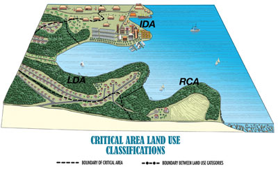
Your land classification. Every property in the Critical Area is mapped into one of three categories, based largely on how each area was developed when it was first mapped:
What's usually possible
A Critical Area address doesn't put a project off limits. Plenty of work moves forward with a standard permit, especially outside the buffer and within your lot coverage limit.
- Renovate inside your existing footprint. Kitchens, baths, and most whole-house renovations don't add lot coverage.
- Add on outside the buffer. Additions, garages, and pools can work if the new coverage fits under your limit and you complete the required mitigation.
- Build open decks. Decks with gaps that let water through generally don't count toward lot coverage. One catch: screening one in later can make the whole structure count, so plan for the porch you want from the start.
- Reach the water. Shoreline paths, piers, and other water-dependent structures are allowed in the buffer with their own approvals.
- Maintain what you have. Mowing and upkeep of existing lawns and gardens are generally fine, and invasives in the buffer can come out with a simplified plan.
- Remove trees outside the buffer. Usually allowed with an approved plan and replacement planting.
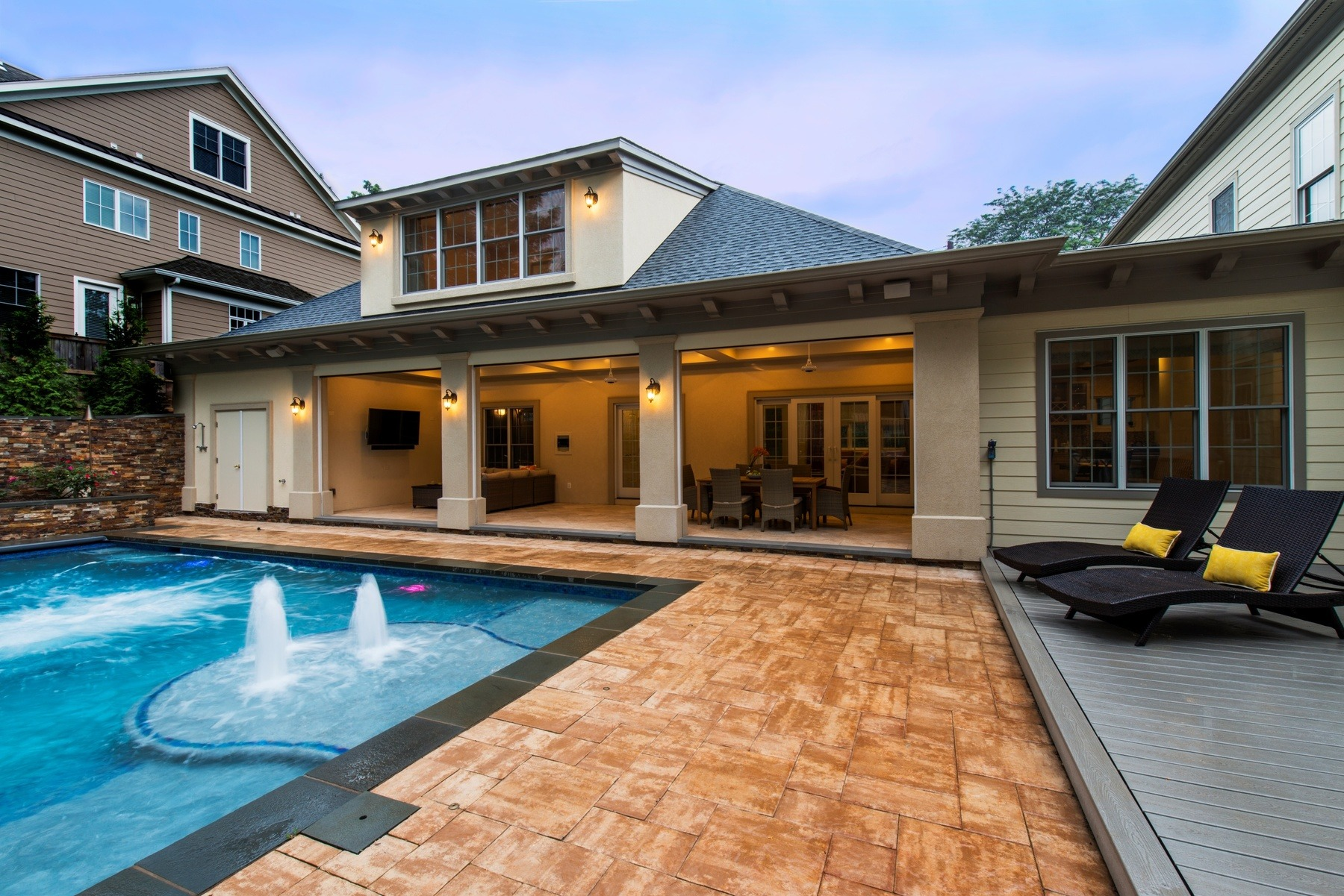
Lot coverage counts the house, driveway, walkways, patios, and other hard surfaces. In the LDA and RCA the general limit is 15%, but lots that predate the mid-1980s rules, which includes most established waterfront neighborhoods, can follow the schedule below. Subdivision approvals can also set a lot-specific limit.
What usually needs a variance
The hard limits come down to the buffer, your coverage limit, and the trees.
- New structures in the buffer. A new addition, garage, pool, or patio in the buffer generally isn't allowed.
- Going over your lot coverage limit. Past the limit, new hard surfaces need a variance or an offset elsewhere on the lot.
- Clearing vegetation in the buffer. Trees generally come out only if dead, dying, diseased, or hazardous. Removing trees, shrubs, or understory in the buffer or protected woodland can require an approved Vegetation Management Plan.
About variances. Variances are possible but shouldn't be assumed. They have to satisfy specific legal criteria and usually come with heavier mitigation. The better path is typically a design that doesn't need one, and that's where an architect-led team earns its keep: finding the square footage inside the rules rather than fighting them.
Mitigation and permitting: plan for both
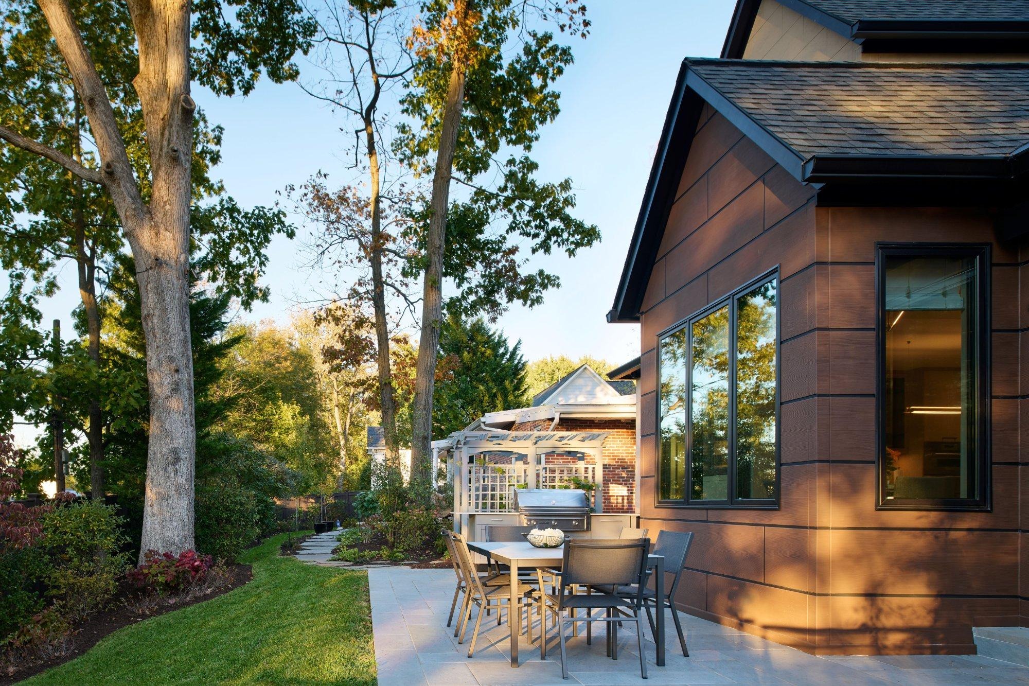
Most Critical Area projects require mitigation, usually native trees and shrubs planted on your property to offset what the project adds or removes. We run these numbers early and build them into the budget. Here are the typical ratios the county publishes. Your actual requirement is set during review.
On timing, Critical Area review adds a layer to the normal building permit, and a variance adds a public hearing and months more. We start that conversation in early design so the permitting path shapes the plan, not the other way around.
Typical Critical Area permits take approximately 3-5 months. However, if a variance is needed, you need to allow an additional 4 to 8 months.
If you want to check your own property, the county's Critical Area planner line is 410-222-7960. Inside Annapolis city limits, start with the City's Department of Planning and Zoning.
How we approach Critical Area projects
At Landis, architecture, design, permitting, and construction sit with one team, so the people designing your project are the same people mapping the buffer, running the coverage numbers, and planning the mitigation. That means fewer surprises once plans reach review.
Our process usually starts with three things:
- A site visit to see the shoreline, slopes, and trees.
- A survey that locates the buffer and calculates your existing lot coverage.
- A follow-up conversation about what you want, measured against what the lot allows.
Thinking about renovating or adding on to a waterfront home in Annapolis or Anne Arundel County? We'd be glad to walk the property with you and talk through what's possible.
Sources
- Anne Arundel County, Critical Area
- Anne Arundel County, Mitigation Planting in the Critical Area (PDF)
- Anne Arundel County Code § 17-8-402, Lot coverage limits in the critical area
- Anne Arundel County Code § 18-13-104, Buffers, expanded buffers, and buffer modification areas
- Maryland Code, Natural Resources § 8-1808.3
- Maryland Critical Area Commission, FAQs
- Maryland Critical Area Commission, Development in the Critical Area
- Maryland Critical Area Commission, Becoming Bay Smart: Living Within Maryland's Critical Area (PDF, 2012)
- COMAR 27.01, Criteria for Local Critical Area Program Development
- Anne Arundel County Office of Planning and Zoning, variance report 2024-0127-V (PDF)